Cnoc Mor nGaibblte
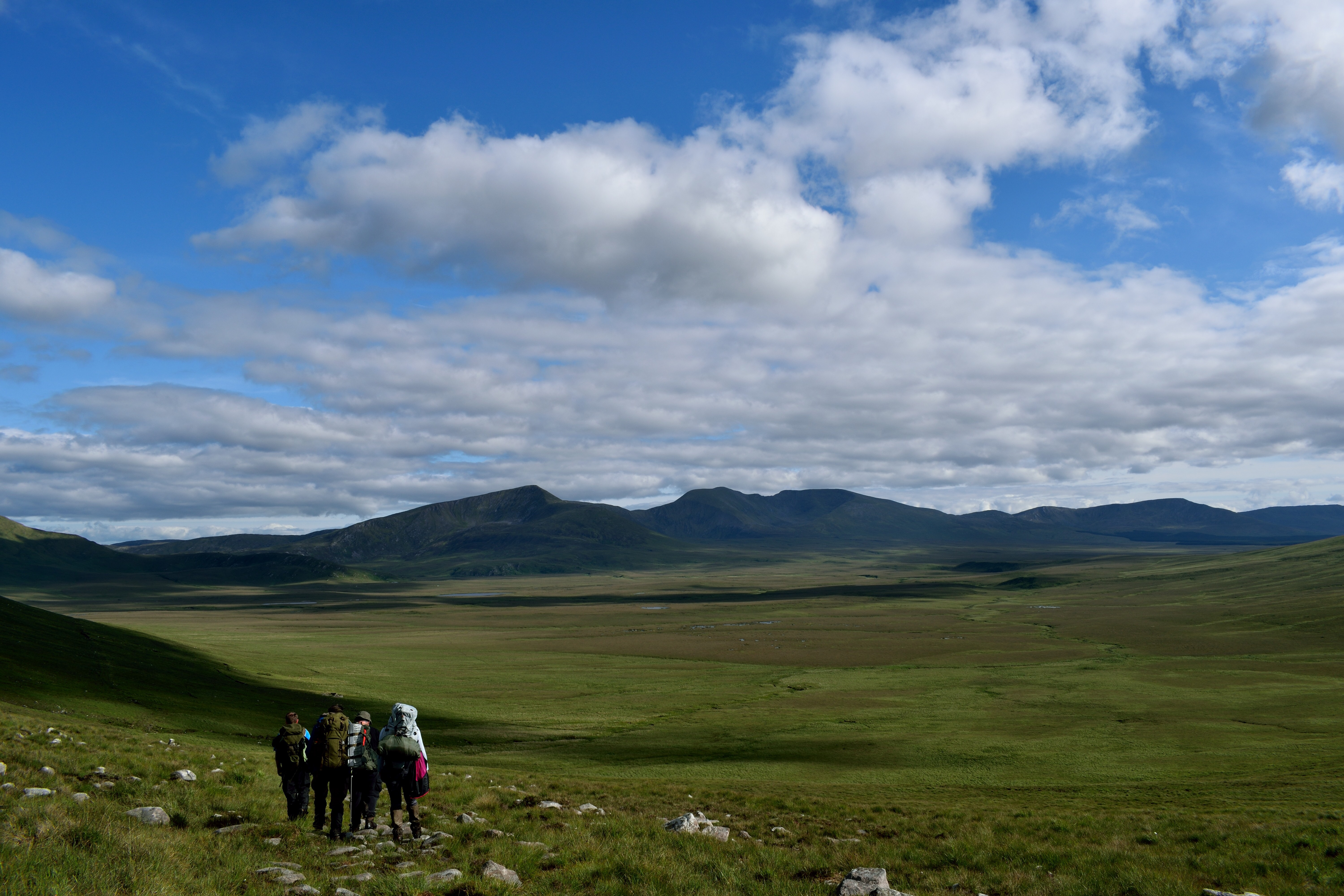
This has to be one of my favourite hikes. It has something for everyone. Climbing from the north you have its steep rugged face taking on routes such as the Lough Curra gully or doing the horseshoe of Cush ,Galtybeg, Galtymore and then Slievecushnabinna each in their own right just has trying and difficult but as all ways the views just so magnificent, or you can come from the south with its gentler slopes using the routes of the Black road or the kings head trail which ever route you take you are sure to see and feel what this mountain range has to offer.

For my ascent on Galtymore I have a love for the north side her sheer rugged cliffs and her beautifully loughs of Curra and Muskry make this for me so rewarding and more challenging,
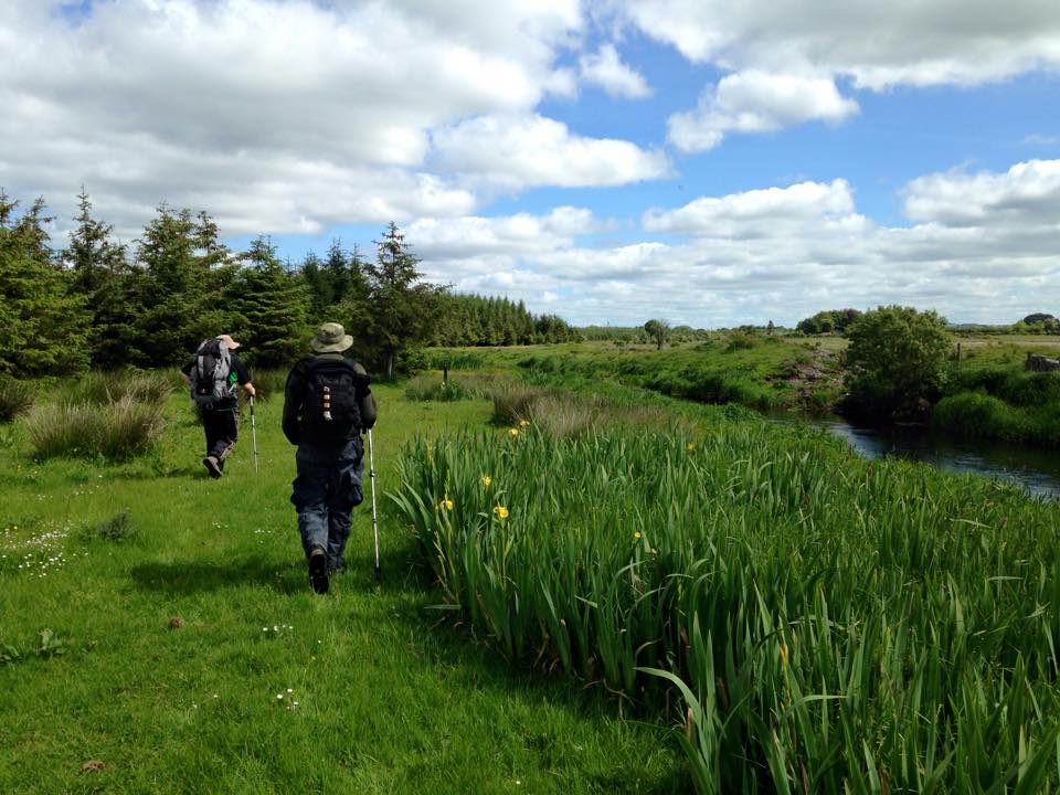
I started at a trailhead at Clydagh Bridge (ref 87434-27776) this a good place as the car park is of a good size ( I say around 12 ish cars )and you get a good view of the impressive Galtymore and her neighbouring peaks of Gatlybeg, and Cush, my route takes me on at first gentle stroll through a mixed wooded Forest as you make your way over the Clydagh river there is a sign to follow to Lough Curra which will take you to the stile where you enter the open moor.
This is where the climb really starts heading off up the grassy slopes at the base of Slievecushnabinnia, you can take the track to the left and head up to Lough Curra and then up though the lough Curra Gully but I decided to take on the sleep and heavy going route and go straight up too Slievecushanbinnia with no real path the follow it is a bit of a slog through hearth, it gets the heart pumping and the thighs burning, nearing the top there is a large stone cairn to keep you on the straight and narrow I headed off over to the ridge which for me is one of the most beautiful sights, here you can look down on to Lough Curra and IF the weather is kind the view is just spectacular as the lough sits neatly at the base of Galtymore and Slievecushnabinna with its deep ridged cliffs heading down to the lough and it is also a great place for a break there is a out crop of rocks here I think the locals call it the anvil ( something to do with its shape ) for me it was a welcome break.
Once refuelled I head off in a southerly direction I like to keep to the ridge as much as possible because the views looking out over the north side are just wonderful and should not be missed as you walk around following the cliff edge to start to head in a more Easterly direction with the hardest bit of the climb done you can enjoy the majestic beauty of the Galtees, but care must be taken as the path runs close to the steep sided edge as you make your ascent to Galtymore, Up here now you have a mix of walking conditions of rocky paths close to the ridge and heavy boggy ground especially if it has been raining a lot , you will also meet a wall which in bad weather is a great guide again the path runs along the ridge so care is needed.

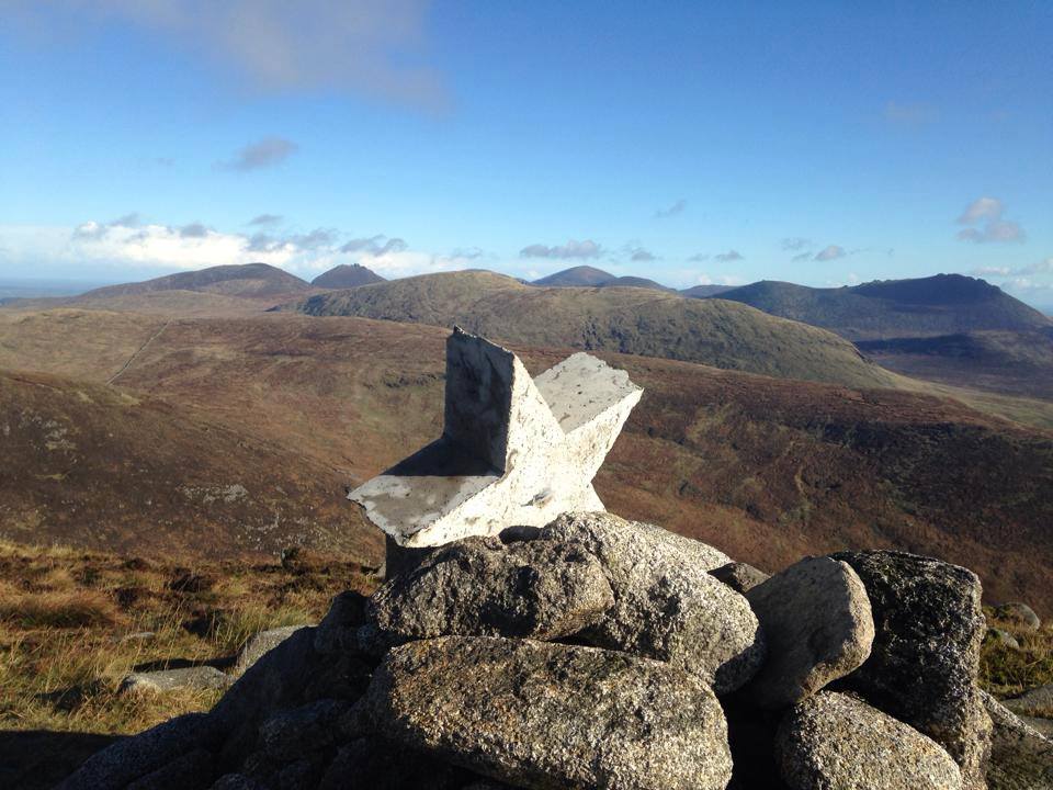
As you hike the ridge with Galtymore standing in front looks can be deceiving, it looks like a gentle stroll but she as one last kick in her tail with the final push hard going over very boggy ground making for slow going but before too long the ground turns to rock and the sight of the famous White cross on top is very welcoming , on a clear day to the north you can see the hills of the Slivermines and the peak of Keeper hill and to the south east the Mountain range of the Knockmealdowns and the Comeraghs and south to the coast and west to the Reeks, Dawson table is a great spot for lunch up here if it is not blowing a gale ( which it as every time I have been up here) .
Galtymore is the CHP of both Limerick and Tipperary so it is two for the price of one, there a stone cairn on the Limerick side and a broke trig point on the Tipperary side (for all those doing their CHP’S).

For my descent I head down off of Galtymore heading to Galtybeg again you will encounter very boggy gound and care is to be taken as there is a path but it runs VERY close to the cliff edge (not a good ideal in high winds ) as I drop down in between galtymore and galtybeg I take what is a sheep track of the slops of Galtybeg zig zaging my way down keeping to the right as I go dropping down back to the open moorland with a little detour to your left this lets you take in the lovely little lough Diheen which sit at the base of sheer cliff face Galtybeg and Galtymore, now heading down the moor following the stream this will bring you back to the fence line where there is a stile leading you back into the forest and making your way back to the car park at Clydagh Bridge (ref 87434-27776).
With all this done it was well worth a stop at the Aerlow house hotel for a good pint of the black stuff before heading home.
Distance was Around the 14km mark.
About the author
Paul is a regular hiker of the Galty mountains bordering Limerick and South Tipperary. He runs a Facebook hiking page called Go Hiking Ireland Drop by for a taste of the mountains further south!


brillant article Paul,very well written.
Thanks first time at this will hope to do more. Paul
Excellent article. Really enjoyed that. The Summer will have to include a Hikers Blog outing to do this Hike!
Love to meet up with you guys to do a hike down in the galtys